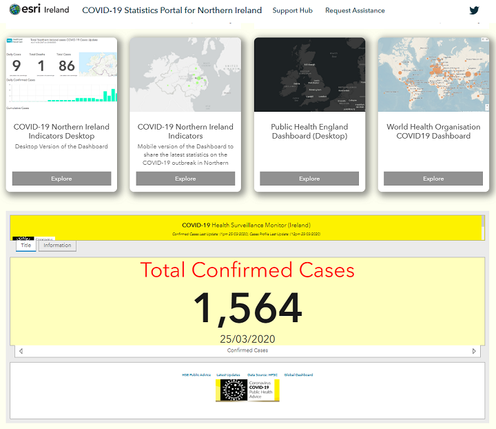
Specialist in Geographic Information Systems (GIS), Esri Ireland has launched an online hub to provide authoritative information, maps and resources about the COVID-19 response in Northern Ireland.
The Holywood-based company has collated data from the Public Health Agency, Public Health England, The Living Atlas and other sources.
A spokesperson said the hub visualises statistical data related to the outbreak of coronavirus across Northern Ireland. This includes the total number of confirmed cases and tests, as well as an age and gender breakdown of the confirmed cases.
All data on the hub will be updated daily to reflect the latest COVID-19 statistics.
Comparison between testing, confirmed cases and deaths
The hub also regularly updates additional information on confirmed cases across the globe, with links to further resources from the World Health Organisation, and other national and international bodies.
It provides best practice and guidelines from the Centres for Disease Control and Prevention (CDC) on how to identify symptoms, protect yourself and others, and what to do when you are sick.
The web-based hub is freely available to view and browse here.
RELATED: Interactive map shows worldwide spread of coronavirus
Esri Ireland additionally has an app which allows the user to identify details about a location and the 2km of area surrounding it.
The 2km feature comes directly from the Irish government's recommendation that you shouldn't exercise beyond 2km of your house due to the current coronavirus lockdown.
The app can thus help the user locate safe, open areas for daily exercise that is still within a close range to their home, without breaking guidelines.
Curious about your #COVID19 #2kmfromhome boundary after @LeoVaradkar @SimonHarrisTD announcements on Friday night? We can help! Our app is an easy way to find places & green spaces you can access, while still helping to #SaveLives #COVID2019IRELAND https://t.co/NBI7KOi5d2 pic.twitter.com/BekIx3v3Wt
— Esri Ireland (@EsriIreland) March 29, 2020