
Esri Ireland, the market leader in Geographic Information Systems (GIS), today announces that its ArcGIS technology is helping to power increased public safety for Northern Ireland Electricity Networks (NIE Networks). Esri has fully automated a map requesting process which enables citizens and contractors to determine the proximity of electricity infrastructure to building or renovation sites.
NIE Networks, which serves over 966,000 customers across Northern Ireland, has a responsibility to supply contractors and members of the public with these maps when planning excavation works. This is vital to avoid accidental cable strikes that could cause power outages.
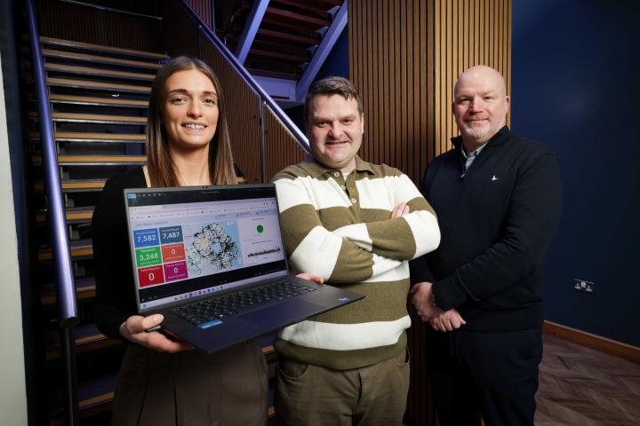
Every year, NIE Networks receives around 6,000 requests for maps. The organisation had to manually generate maps for each specific request in a time-consuming process which saw applicants waiting up to 10 days to receive these via email or by post. Now, customers can make these requests online via a dedicated webpage and receive maps within a maximum of one hour. The service is available 24 hours a day, including outside of traditional office hours and at weekends, which minimises the risk of power outages, helps to streamline construction projects, and ensures access to accurate information.
READ MORE: Queen’s wins global award for commitment to inclusive careers support
In addition to reduced waiting times, the number of requests for maps has increased significantly since the introduction of the new process. This contributes to boosted health and safety for Northern Ireland’s approximately 1.9 million citizens, with greater awareness of the safety risks near planned excavations.
Furthermore, the solution is delivering considerable time savings for NIE Networks and is enabling internal resources to be reallocated to other core business activities. An interactive dashboard provides teams with far greater oversight of planned works and enables quicker response times in the case of any incidents. The new digital system also contributes to NIE Networks’ sustainability goals, including the reduction of paper usage by 96,000 sheets per year.
Emily Boyd, Team Lead, GIS Technician (East Region), NIE Networks said: “The number one priority in NIE Networks is to improve safety around the electricity network - and that’s why the new ArcGIS solution is so important. It is helping to ensure people are better informed of the locations of high voltage cables, so it’s critical for us to be able to do this in a timely and efficient manner. What’s more, staff can see where jobs are being done and, if a cable is accidentally damaged, they can instantly access the customer information and respond more quickly to restore the service.”
Philip McLaughlin, Senior Account Manager, Esri Ireland, said: “NIE Networks provides a critical service for the continued health and safety of Northern Ireland’s citizens. Our technology enables the organisation to generate and distribute crucial maps quickly and efficiently, ensuring building works and projects can commence or continue uninterrupted and with the most up-to-date data. This service will be particularly important for preventing power outages in the colder winter months amid increased potential for adverse weather.”

Read the Spring 2026 edition free online →
Stay connected with NI's tech community: